WVCS has been advised by Wildfish to publicise and promote the unique and valuable archive which has been gained as a result of the capture of the 2017-2019 data as well as the most recent 2025 survey.
Changes in the ecology of any river the tend to take place gradually, apart from major pollution incidents, and since our data spans 9 years, we are able to recognise such changes and take steps to address them.
When looking at changes, weather patterns are obviously important and even the differences between Spring and Autumn (in the latter any pollutants have a greater impact) need to be carefully considered.
The 2017-2019 surveys , in some locations, show that the biometric reading of a river suffering from the following:
- Nutrients
- Chemicals
- Sediments
- Silt
- Phosphates
Clearly identification of source of these pollutants would help to address them.
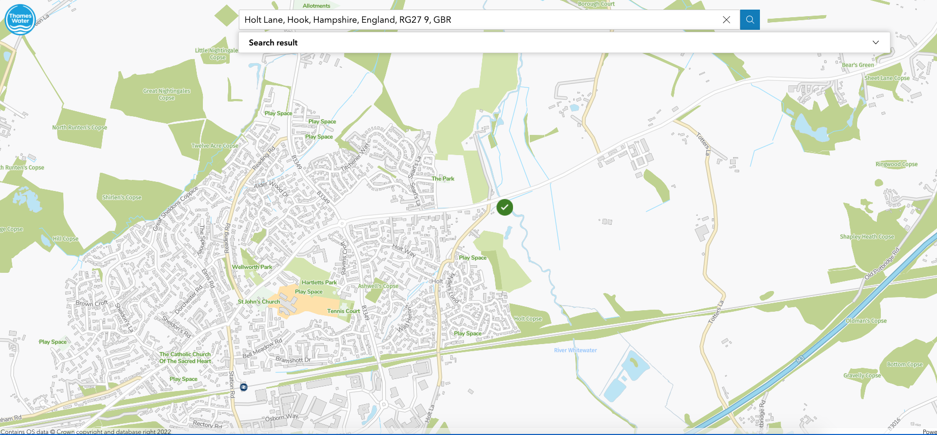
Survey data suggests there tends to be greater diversity working downstream from the source, which could of course be affected as the river flow increases naturally and of course where the R Hart join the Whitewater, just beyond Holdshott Farm.
The constant reference to the presence of American Crayfish, throughout the river, and their potentially detrimental impact, excavating the banks creating additional silt, munching through invertebrates on the river bed prompts the suggestion that Wildfish and WVCS should obtain suggestions or approval how to reduce the numbers in the river.
Family : Gammaridae.
Shrimp are detritivores feeding on organic matter. Shrimp numbers may vary due to pollution. However, we should also keep in mind that numbers will naturally vary within a river, e.g. that an area of river with lots of leaf litter would naturally have more shrimp. Larger individuals are thought to be more sensitive to pollution. So if you do a sample and find all very small shrimp this can be suggestive of an issue.
Comparison between 2017/9 and 2025
The comparison between 2017-19 and 2025 surveys can be found here.
Water Quality

The most notable difference is an average decline in siltation pressure relative to River Census 2019-2019 data. So pressure looks to have reduced in 2025.
Flow and phosphorus stress sees to have reduced.
Minimal change to organic enrichment, slight increase in chemical impact.
Invertebrate community
On average, for both the total invertebrate and riverfly communities, diversity seems to be lower while abundance is higher in the 2025 data.
Family level metrics support the view diversity is reduced in 2025 but suggests the “quality” (proportion of higher scoring taxa) has increased.
But saying the river has ‘improved’ from our original survey is a little bold given we’ve only just restarted the monitoring. It’s important to capture the full picture before trend comparisons will be more representative of the actual situation.
The comparison 2017/9 to 2025 should be reviewed by committee, although it is still very early days.
In an email accompanying the comparison between 2025 and 2017-2019, WildFish further commented:
Looking at the last graph (abundance), the almost disappearance of beetles, molluscs and caddisflies in the majority of sites is concerning. The “surprising” increase in the abundance of mayflies might be related to more tolerant families (like Baetidae) at the expense of more sensitive families (like Heptageniidae).
The decrease in the abundance of molluscs, caddisflies and flies in Borough Court might be related to the increase in Signal crayfish numbers, as they predate on them. Reduced pea clam (Sphaeriidae sp) and NZ mud snail (P. antipodarum) numbers would drive the change in PSI scores – so the interpretation challenge is:
1. Has sediment pressure reduced so we’re seeing fewer sediment tolerant molluscs, or
2. Have signal crayfish munched the molluscs and that has driven the reduction in PSI impact score
(or 3. a bit of both…)?
It’s a tricky one to untangle with these more simple comparisons!
WVCS has asked if WildFish could provide us with updated biometric numbers expected in a chalk stream such as the Whitewater, to serve as comparison and reference.