
Nine miles of chalkstream
The River Whitewater rises at Bidden and runs north through the villages of the valley to meet the Blackwater. It is one of around 265 chalkstreams in the world, and the reason this Society exists.

From Bidden to the Blackwater
The River Whitewater rises from the chalk aquifer at Greywell in Hampshire and flows north to join the River Blackwater at Riseley on the Berkshire Hampshire border. The Whitewater rarely makes headlines the way its more famous neighbours, the Test and the Itchen, do, but this nine-mile chalk stream is one of only around 265 chalk streams worldwide. According to a WWF UK report in 2014 on the state of England’s chalk streams nearly 85% of them (224 according to the Environment Agency) are in England. This rarity alone makes understanding and preserving the ecological health of these streams a matter of global and national importance.
It flows through the villages of Greywell, North Warnborough, Hook, Hartley Wintney, West Green, Mattingley, Bramshill and Heckfield, before joining the Blackwater and, beyond it, the Loddon catchment.
A river of two halves
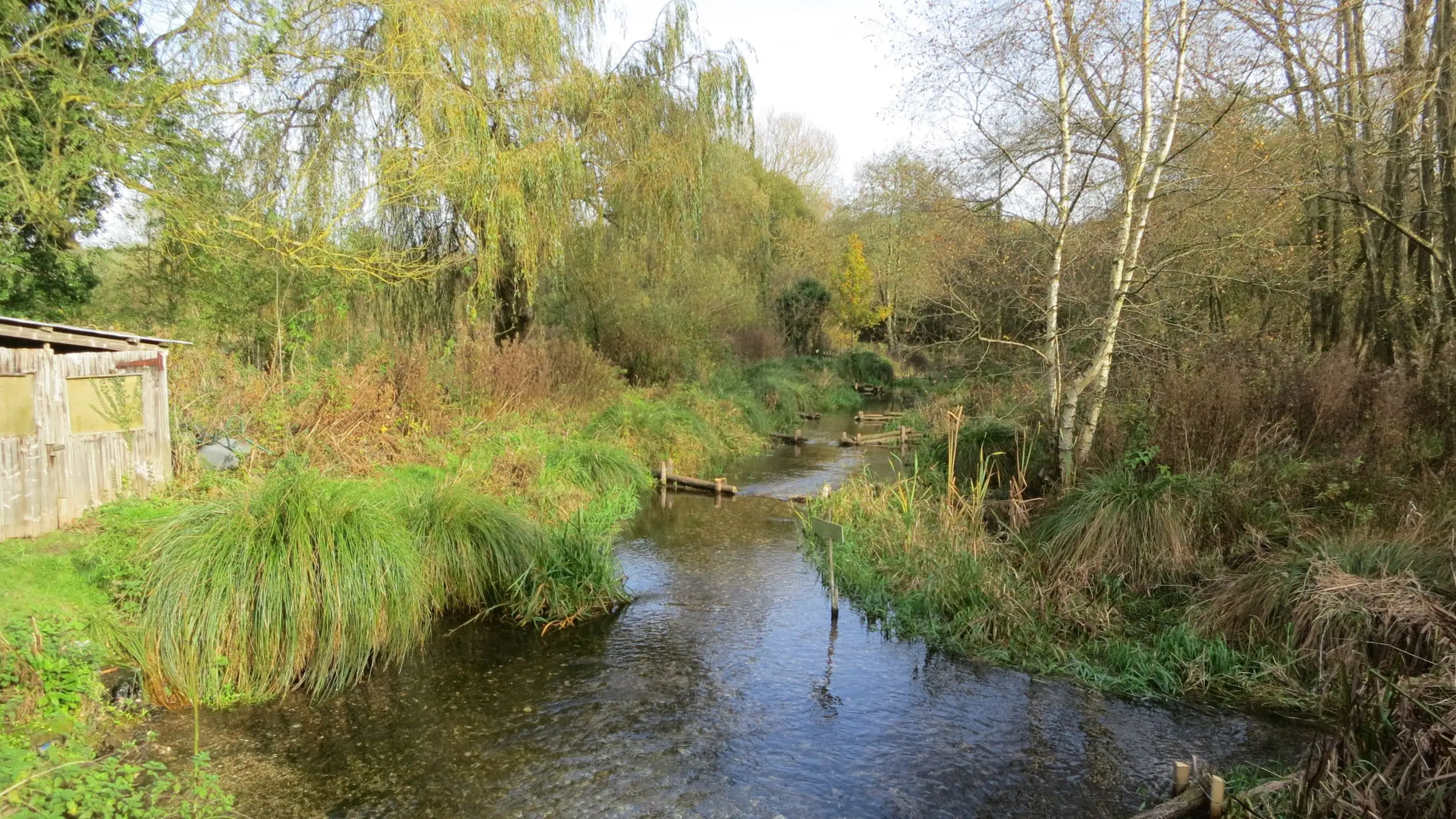
The Whitewater’s character changes markedly along its course. Near its source around Greywell and North Warnborough, it shows classic chalk stream traits: low banks, a stable flow regime fed by groundwater, and exceptionally clear water percolating up through Greywell Fen, a peaty wetland of such significance that it is designated a Site of Special Scientific Interest (SSSI). Further downstream, around Hook, the underlying geology shifts to clay and gravel. The flow becomes less stable, the banks steepen slightly, and the water carries a little more colour, a reminder that chalk streams are not uniform systems but a patchwork of different conditions from source to confluence.
Map of the Whitewater River
Follow the river from its springs near Greywell north to the Blackwater. Pan and zoom the map to trace its course through the villages of the valley.
Map data from OpenStreetMap contributors, available under the Open Database Licence. The mapped course of the river measures 9.1 miles from Greywell to the Blackwater confluence, with a further stretch upstream to the source at Bidden.
Follow the river on foot: walks in the Whitewater Valley →Why a chalkstream is worth protecting
Only about 265 in the world
Chalkstreams are among the rarest freshwater habitats on Earth, and the great majority of them are found in southern England.
Filtered by chalk
Water filtered through chalk hills emerges exceptionally clear and thermally stable, holding a steady temperature through the year.
A haven for wildlife
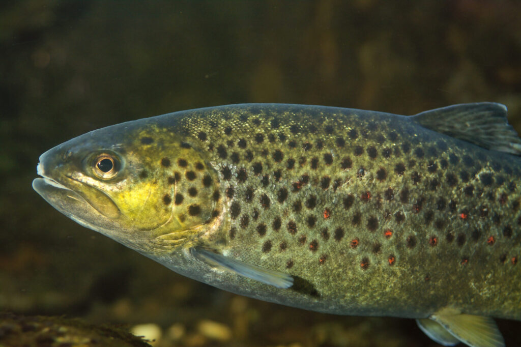
Those conditions support rare and endangered species, a huge range of invertebrates, and essential breeding grounds for trout and other specialist fish.
Part of local life
Chalkstreams give communities access to nature, and support local economies by drawing visitors and anglers to fish their waters.
What puts a chalkstream at risk
Chalkstreams are under threat from water over-extraction, agricultural runoff and developments such as housing and associated infrastructure. The changing patterns of rainfall and drought brought on by climate change create further pressure on chalkstream habitats.
Together, these pressures degrade habitats and reduce water quality, putting the long-term health of these globally rare ecosystems at risk.
What needs to happen
- Reducing water abstraction from the aquifer and the river
- Improving wastewater treatment across the catchment
- Ensuring development is appropriate to river protection
- Restoring natural habitats along the valley
- Securing stronger statutory protection for conservation

The designations, and the duty to honour them
The River Whitewater is recognised as a main water body and a Site of Importance for Nature Conservation (SINC), and several stretches along its length are designated Sites of Special Scientific Interest (SSSI) by Natural England and the Environment Agency. These designations carry statutory protection.
Hart District Council's Landscape Character Assessment recognises the special character of the valley, shaped over centuries from Greywell to Riseley. As the local planning authority, Hart has a duty to protect the river and to ensure development plans protect and enhance its environment and biodiversity. Any extraction or development that could affect the river's biodiversity, particularly species identified in Hart's Biodiversity Action Plan, must be assessed accordingly.
The Whitewater valley is also home to many listed buildings and heritage assets, adding a further layer of character and protection to the landscape we work to defend.

Help us keep it that way
The Society exists to defend the Whitewater and its valley from inappropriate extraction and development, and the impact that would have on the river. Our supporters make that work possible.