
Whitewater Valley Conservation Society logo
Useful information

Walks in the Whitewater Valley

The best way to understand why this valley is worth protecting is to walk it. Here are three circular routes through the water meadows, woods and villages of the Whitewater.

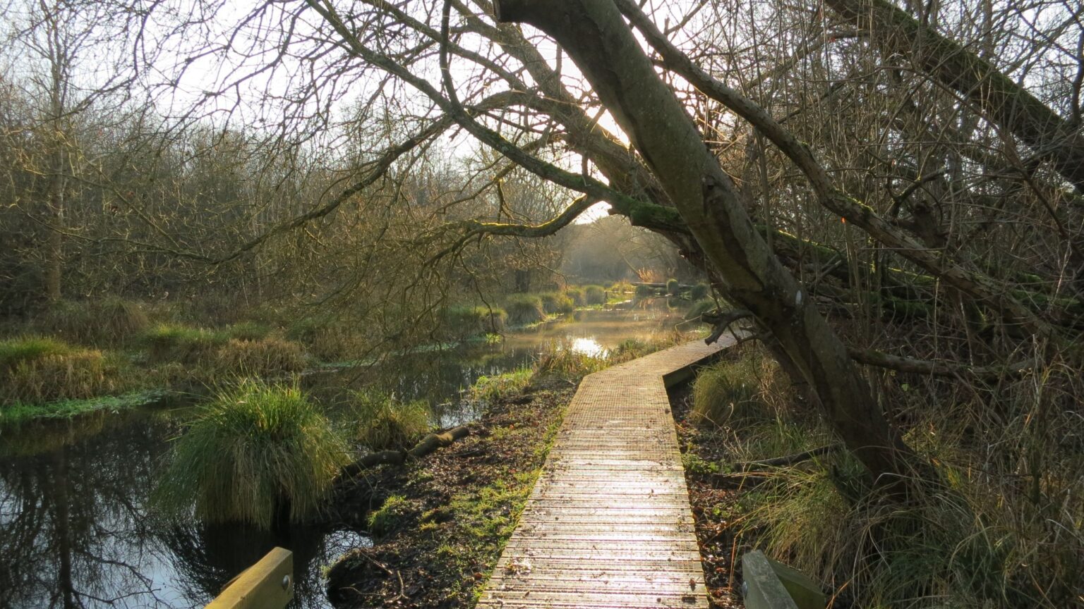
footpath by the whitewater river (2500x1406)

Each route is published by another organisation and opens on their website; take the guide with you, wear boots after rain, and please keep to the paths and leave gates as you find them.

Odiham, Greywell Moors and the Basingstoke Canal

Odiham, Greywell Moors and the Basingstoke Canal

5.6 miles About 3 hours

A circuit from Odiham High Street that picks up the Whitewater at Greywell Moors, the nature reserve near the river’s source, before returning along the Basingstoke Canal towpath past the ruins of Odiham Castle. Field paths and riverside walking, with a few stiles and some mud after rain.

View the route guide Route guide published by Blackwater Valley Nature Walks
Hazeley Heath, the Whitewater and Mattingley

Hazeley Heath, the Whitewater and Mattingley

8.1 miles 4 – 4.5 hours

The longest of our walks, crossing rare lowland heath before dropping to the Whitewater. The river is crossed by footbridge twice, at Lea Farm and again at Alder Moor Farm where alders line the bank, with Hound Green and Mattingley village on the return. Gentle hills and a few stiles.

View the route guide Route guide published by Blackwater Valley Nature Walks
Wellesley Water Meadows, two rivers and Bramshill Forest

Wellesley Water Meadows, two rivers and Bramshill Forest

6.2 miles 3 – 3.5 hours

A level walk through the water meadows near the northern end of the valley, following the Whitewater along a boardwalk across marshland and crossing it at bridges and fords before striking out to the Blackwater and Bramshill Forest. Few stiles and no real hills, so a good one for a wet-weather day with boots.

View the route guide Route guide published by Blackwater Valley Nature Walks
Hook to Winchfield along the Whitewater

Hook to Winchfield along the Whitewater

12.4 miles (20 km) A full day

A linear station-to-station walk that alternates between the Whitewater and the Basingstoke Canal, following the river towards Greywell Mill and crossing its branches at fords in North Warnborough, with Odiham’s Georgian high street on the way. Trains at both ends make it an easy day out without a car.

View the route guide Route guide published by Saturday Walkers Club

Routes are published and maintained by others, and conditions on the ground change. Please check the guide before you set out, and let us know if a link stops working.